Red Rock State Park is located southwest of Sedona, and may be reached from state highway 89A by either Red Rock Loop Road or Upper Red Rock Loop Road. I used the former to reach the park and attempted to leave via the latter, only to find a sign the said "pavement ends", so I ended up leaving the same way I came in. The park straddles Oak Creek, downstream from Oak Creek Canyon.
Just after starting my hike, I saw this rock formation, the top of which I would later reach by the Eagle's Nest Trail.

Just after starting my hike, I came upon two of the local residents.

Here's a view from somewhere along the Coyote ridge Trail. The building near the left edge of the photo is the visitors center.

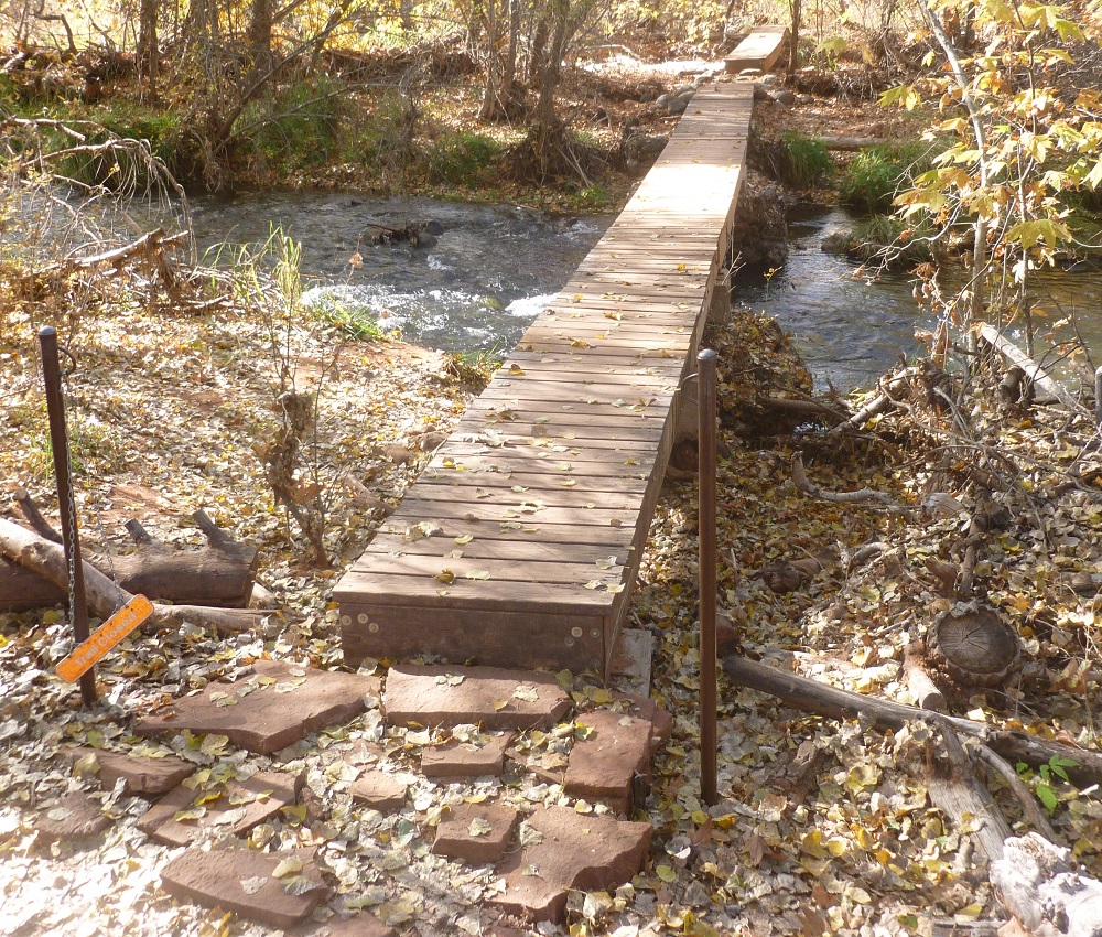
The Sentinel Trail includes these bridges over Oak Creek.
The Wikipedia page on this park includes the rather interesting story about how the park came to be.
Red Rock State Park was previously a part of a ranch, Smoke Trail Ranch. In 1941 it was purchased by Jack Frye, then-president of Trans World Airlines, as a southwestern retreat for himself and his wife Helen.[2] Helen Frye maintained the property for many years after Jack's death in 1959. In the early 1970s she sold 330 acres (130 ha) to a real estate development company, who planned to build a resort complex. The deal fell through from lack of funds. In 1976 the property was transferred to Eckankar, a new religious movement that Helen Frye belonged to, who planned a private retreat for their members.[2]
In the fall on 1980 a group of friends hiking along Oak Creek were informed by an Eckankar representative that they were trespassing on private property. The group happened to include Bruce Babbitt, then-governor of Arizona. Concerned about loss of public access along waterways, Babbitt researched the property and noted its potential for a full-fledged state park. After determining the willingness of all parties involved, Babbitt pursued a three-way land exchange: Eckankar would sell 286 acres (116 ha) of the Smoke Trail Ranch to Anamax Mining Company, who would donate the land to the state in exchange for 3,947 acres (1,597 ha) of Arizona State Land Department property they had been leasing in Pima County. Since state law only provided for such exchanges within a county, the Arizona Legislature had to pass new legislation allowing trans-county trades. The enabling law and the transfers were completed in 1981.[2]As it turns out, footnote [2] refers to the "history" page of the park's website, the main page of which is linked on this post's first line above. The apparent lesson is that if you're going to trespass on private property, it's a good idea to bring your state's governor with you.
No comments:
Post a Comment